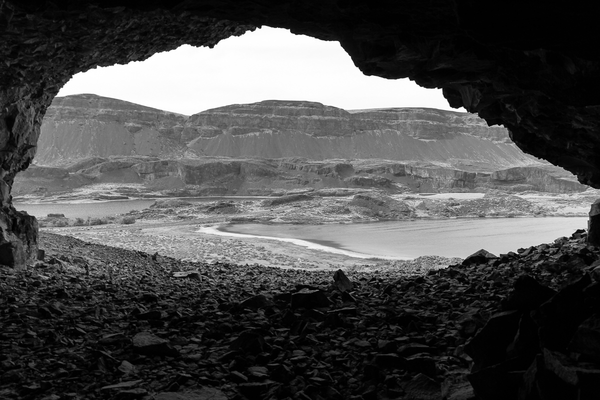
The photo above shows a view from inside one of several caves in the basalt cliffs overlooking Lake Lenore, Washington.
The lake and cliffs are relatively young.
They were created about 13,000 years ago, at the end of the last ice age, in a series of catastrophic
floods following ruptures of the natural ice dam holding back Glacial Lake Missoula.
Unlike caves in Karst topography, the Lenore Caves took shape as rushing water plucked pieces of basalt from the cliffs.
These caves were used as shelters by prehistoric inhabitants of this area.
Lake Lenore is located just north of Soap Lake along State Route 17.
Lenore is most famous for its very alkaline waters that only Lahontan Cutthroat Trout can survive in.
This lake is an anglers best chance to catch a trout pushing or slightly exceeding 30 inches.
Several trout in the low to mid 20 inches also exist.
The best fishing time is during the fall months.
Fishing can be productive during other months of the year, but anglers will need to locate where fish are holding.
This lake is best fished from a boat, canoe, float tube, or pontoon boat.
Internal combustion motors are prohibited.
Anglers are also advised that wind can become very strong.
Photo Details: Camera: Canon EOS REBEL T2i; Lens: EF-S15-85mm f/3.5-5.6 IS USM; Focal Length: 15mm; Aperture: f/8.0; Exposure Time: 0.020 s (1/50); ISO equiv: 100; Software: Adobe Photoshop Lightroom 4.4 (Macintosh).
Lake Lenore, Washington Coordinates: 47.5020,-119.5120

Image credit: wikipedia.org
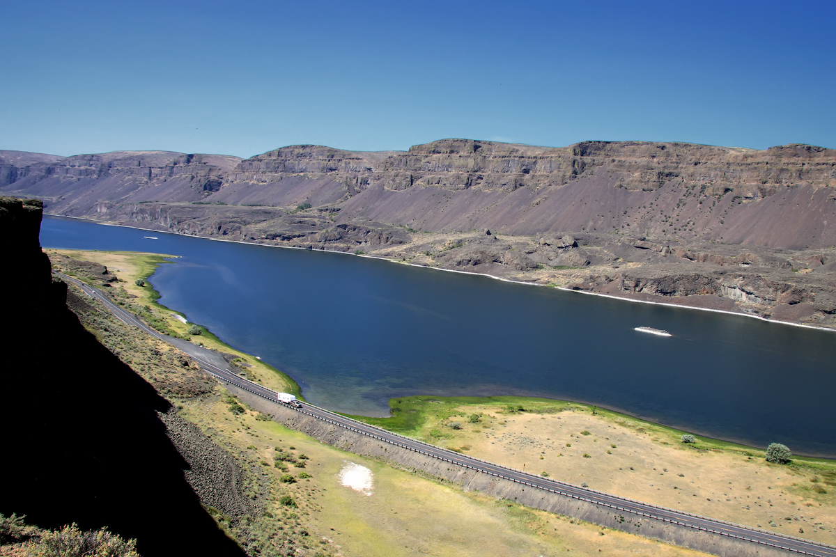
Lake Lenore (a.k.a. Lenore Lake) is located in Grant County, Washington. It is a 1,670-acre (680 ha) lake formed by the Missoula Floods in the lower Coulee just north of the town of Soap Lake, Washington. It is situated between Alkali Lake to the north and Soap Lake to the south. The lake is rather narrow, but long. The length of the lake runs north-south alongside Washington State Route 17 leading from near the city of Soap Lake to Coulee City, Washington.
Lenore Canyon is a coulee associated with the development of the Scablands.
One of the interesting areas around Lake Lenore is the Lenore Caves. Located at the northern end of the lake, the Lenore Caves are a series of overhangs along the cliffs at the lake. They exist in one of the largest volcanic regions on Earth.
The Lenore Caves were formed by the plucking of basalt from the walls of the coulees by the Missoula floods and are geologically different from most caverns. They were later used as shelters by prehistoric humans.
On Washington State Route 17 along Lake Lenore is a turn-off that leads to a parking area at the beginning of a trail. There is a sign with information about the caves and a general history of the area. There are seven caves accessible by well-maintained trails leading to the caves scattered about the eastern wall of the Grand Coulee across from Lake Lenore.

